

Explore the trails, maps, and towns that make up the Queenstown network.

Prepare for your journey with trail tips, safety info, and conditions.

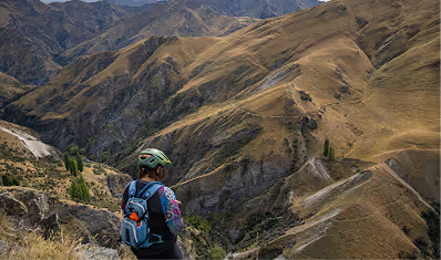
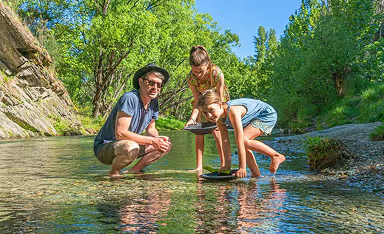
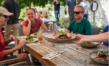
Experience Queenstown’s trails through its towns, tastes, and tales.

Support the trails through donations or partnership.

Connect with our community and keep up with the latest trail news.

Learn about the Queenstown Trails and our mission.

←
← Trail Network

Shotover Gorge Trail

6km one way

0.5–1 hr bike

1.5–2 hrs walk

Intermediate -

Grade

3

VIEW FULL MAP
DOWNLOAD
Drag to explore
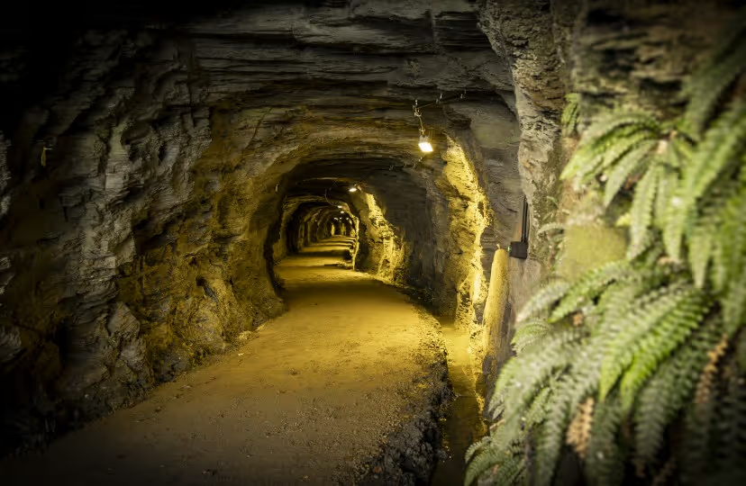
{"pois":[{"coordinates":{"x":41.85,"y":54.31},"heading":"Hugo Tunnel","description":"The 108m long Hugo Tunnel provides a passage directly into the gorge, sponsored by the Hugo Chariable Trust, the Hugo Tunnel combines the history of the area with a spectacular trail experience. The tunnel is lit by solar lights, activated with a push button just inside the tunnel portal. The tunnel tramlines are left in-situ, so be wary and please walk your bike.","image":"https://webflow-files-prod.global.ssl.fastly.net/697fcb65654618009514c442/69a5058af1d459eec70ad973_Hugo%20Tunnel.avif","color":"#dc7c4c","classes":"marker-right","iconUrl":"","url":"","openInNewTab":false},{"coordinates":{"x":42.61,"y":55.81},"heading":"Lyttle's Ladder","description":"A marvel of engineering and trail building expertise.\n\nThis section of the Shotover Gorge Trail includes narrow sections with Grade 4 corners. Less experienced riders should enjoy this section as a walk.\n\nThis section of the Shotover Gorge Trail includes narrow sections with Grade 4 corners. Less experienced riders should enjoy this section as a walk.","image":"https://cdn.prod.website-files.com/697fcb65654618009514c442/6ab32f524002a643c6fd848f_Queenstown%20-%20Shotover%20Gorge%20Trail%20-%20Spring%202025%20-%20credit%20Brook%20Sabin%20(11)_thumb.jpg","color":"#dc7b4c","classes":"marker-top-right","iconUrl":"","links":[],"url":"","openInNewTab":false},{"coordinates":{"x":45.14,"y":56.41},"heading":"Buck's Balcony","description":" Incredible views of the gorge below open up as you climb, and are best enjoyed from ‘Bucks Balcony’ as the trail weaves through ferns and native plantings towards Tucker Beach.","image":"https://webflow-files-prod.global.ssl.fastly.net/697fcb65654618009514c442/69a50b75f6edd25f4e434404_bucks%20balcony.avif","color":"#dc7b4c","classes":"marker-top-left","iconUrl":"","links":[],"url":"","openInNewTab":false},{"coordinates":{"x":75,"y":58.71},"heading":"Kimi-ākau Bridge","description":"The spectacular 90m Kimi-ākau suspension bridge affords amazing views of the Shotover Gorge, and opportunities to see the jet boats performing 360degree spins below. The Kimi-ākau Bridge was funded by three major supporters: Rod Drury, the Alterno Foundation and the McLaren Family. A crowd-sourcing campaign saw our loyal community of trail lovers step up - sponsoring planks on the bridge deck to complete the funding of this spectacular bridge.","image":"https://webflow-files-prod.global.ssl.fastly.net/697fcb65654618009514c442/69a50089bc857baf2502cfcc_Kimi-akau%20suspension%20bridge.avif","color":"#dc7a4c","classes":"marker-left","iconUrl":"","links":[],"url":"","openInNewTab":false},{"coordinates":{"x":17.99,"y":37.36},"heading":"Gantley’s Tavern","description":"With our spacious, beautiful beer garden, Gantley’s Tavern is the perfect spot for “Après Bike”.","image":"https://cdn.prod.website-files.com/697fcb65654618009514c442/69af9688c57c93c90aa96c62_gantleys-tavern-tn.avif","iconUrl":"","url":"/experiences/gantleys-tavern","openInNewTab":false,"links":[{"url":"/experiences/gantleys-tavern","linkText":"","openInNewTab":false},{"url":"https://maps.app.goo.gl/jbvU8vBMmt4amSjU6","linkText":"VIEW GOOGLE MAP","openInNewTab":true}],"color":"#364d40","classes":"exp eat drink","group":"group-0"},{"coordinates":{"x":17.97,"y":40.59},"heading":"Onsen Hot Pools","description":"Boasting idyllic exclusive hot pools overlooking the Shotover River...","image":"https://cdn.prod.website-files.com/697fcb65654618009514c442/6998368095fec491dd711975_Onsen%20Hotpools.avif","iconUrl":"","url":"/experiences/onsen-hot-pools","openInNewTab":false,"color":"#276229","classes":"exp spa","group":"group-0","links":[{"url":"/experiences/onsen-hot-pools","linkText":"","openInNewTab":false}]},{"coordinates":{"x":18.22,"y":42.12},"heading":"Cargo Brewery","description":"Cargo Brewery is Queenstown’s home of premium small-batch craft beer - brewed with alpine water, fresh ingredients, and a spirit of adventure.","image":"https://cdn.prod.website-files.com/697fcb65654618009514c442/69c7c1e7c42d95b976887037_Screenshot%202026-03-29%20at%2012.56.16%E2%80%AFam.avif","iconUrl":"","url":"/experiences/cargo-brewery","openInNewTab":false,"color":"#a68a26","classes":"exp eat drink","group":"group-0","links":[{"url":"/experiences/cargo-brewery","linkText":"","openInNewTab":false},{"url":"https://maps.app.goo.gl/5nBah8LJFVSQC7CV6","linkText":"VIEW GOOGLE MAP","openInNewTab":true}]},{"coordinates":{"x":16.14,"y":55.74},"heading":"Canyon Brewery","description":"Canyon is your go-to Queenstown craft brewery and restaurant with a view that (almost) steals the show. Indulge in the expertly crafted share-style dishes, local craft beer and arguably the town's best pizza.","image":"https://webflow-files-prod.global.ssl.fastly.net/697fcb65654618009514c442/69959b74c23b370788ecfeb9_Experience.avif","iconUrl":"","url":"/experiences/canyon-brewery","openInNewTab":false,"color":"#224092","classes":"exp eat drink","links":[{"url":"/experiences/canyon-brewery","linkText":"","openInNewTab":false},{"url":"https://maps.app.goo.gl/EW6RH5P4npyXG5uHA","linkText":"VIEW GOOGLE MAP","openInNewTab":true}]},{"coordinates":{"x":23.01,"y":47.48},"heading":"Arthurs Point","description":"Situated at the base of Coronet Peak, Arthurs Point is an alpine village of Queenstown. Home to fantastic restaurants, breweries and world famous tourist attractions, there is plenty to enjoy. Start or finish the Shotover Gorge Trail in Arthurs Point.","image":"https://webflow-files-prod.global.ssl.fastly.net/697fcb65654618009514c442/69913595e9b250768716f076_Arthurs%20Point.avif","iconUrl":"","url":"","openInNewTab":false,"links":[],"color":"#dc7b4c","classes":"town marker-right"},{"coordinates":{"x":60.17,"y":54.38},"heading":"McQuilkin Bridge","description":"Spanning Littles Stream, the McQuilkin Bridge was made possible thanks to the generosity of Tony and Nicky McQuilkin.","image":"","color":"#dc7b4c","classes":"marker-left","iconUrl":"","links":[],"url":"","openInNewTab":false},{"coordinates":{"x":59.09,"y":54.78},"heading":"McQuilkin's Lookout","description":"McQuilkin's Lookout, named after former Queenstown Trails chairman, Tony McQuilkin. McQuilkin's Lookout makes a wonderful stop for a picnic and to enjoy the expansive views of the dramatic Kimi-ākau River and Shotover Gorge.","image":"","color":"#dc7b4c","classes":"marker-top-right","iconUrl":"","links":[],"url":"","openInNewTab":false},{"coordinates":{"x":48.45,"y":45.76},"heading":"Hugo Tunnel Bypass","description":"Alternative route linking to the Shotover Gorge Trail. Use this trail to by-pass the Hugo Tunnel during flood events. Trail includes a 400m section of steep switch backs - less experienced riders should dismount and enjoy this section as a walk.","image":"","color":"#44a1c5","classes":"marker-left link-hugo","iconUrl":"","url":"","openInNewTab":false,"links":[]}],"poiGroups":[{"id":"group-0","coordinates":{"x":30.92,"y":41.26},"heading":"Arthurs Point Road","color":"#2c2b2b","classes":"marker-right eat"}],"facilities":[{"coordinates":{"x":32.64,"y":40.19},"heading":"Wilson - Swiss-Belresort Coronet Peak","iconUrl":"","color":"#41453d","classes":"parking","url":"https://www.wilsonparking.co.nz/parking-locations/queenstown/queenstown-cbd/swiss-belresort-coronet-peak/","openInNewTab":true},{"coordinates":{"x":46.85,"y":42.48},"heading":"Redemption Song Track Parking","iconUrl":"","color":"#41453d","classes":"parking","url":"https://maps.app.goo.gl/JjjuDKnuQcUe9aLW6","openInNewTab":true},{"coordinates":{"x":82.32,"y":62.51},"heading":"Carpark - Tucker Beach","iconUrl":"","url":"https://maps.app.goo.gl/n4ge16rE5FF5s6MaA","openInNewTab":true,"color":"#41453d","classes":"parking"},{"coordinates":{"x":95.44,"y":43.9},"heading":"Carpark - Tucker Beach Wildlife Management Reserve","iconUrl":"","color":"#41453d","classes":"parking","url":"https://maps.app.goo.gl/nbhJwojYoLdTvEsu7","openInNewTab":true}],"connectedTrails":[{"coordinates":{"x":23.88,"y":67.68},"heading":"Arthurs Point Trail","url":"/trails/arthurs-point-trail/","openInNewTab":false,"color":"#c071a5","classes":"connected-trail trail down marker-left link-arthurs"},{"coordinates":{"x":34.41,"y":33.12},"heading":"Wharehuanui Trail","url":"/trails/wharehuanui-trail/","openInNewTab":false,"color":"#44a1c5","classes":"connected-trail trail up-right marker-right link-whare"},{"coordinates":{"x":91.31,"y":58.96},"heading":"Tucker Beach Trail","url":"/trails/tucker-beach-trail","openInNewTab":false,"color":"#4fa441","classes":"right-marker link-tucker"},{"coordinates":{"x":88.14,"y":32.89},"heading":"Lower Shotover Conservation Area","url":"/trails/lower-shotover-conservation-area/","openInNewTab":false,"color":"#b86132","classes":"marker-right link-lowershotover"},{"coordinates":{"x":79.69,"y":42.07},"heading":"Fitzpatrick Road Connector","url":"","openInNewTab":false,"color":"#db7a4d","classes":"link-fitz up"}],"elevationMarkers":[{"coordinates":{"x":83.83,"y":54.99},"heading":"Kimi-ākau Bridge","description":"","color":"#f26122","classes":"","image":""},{"coordinates":{"x":6.05,"y":10.09},"heading":"Arthurs Point Descent","description":"","color":"#FF9800","classes":"left-align","image":"","url":""},{"coordinates":{"x":29,"y":46.99},"heading":"Hugo Tunnel","description":"","color":"#FF9800","classes":"","image":""},{"coordinates":{"x":31.96,"y":37.08},"heading":"Lyttle's Ladder","description":"","color":"#FF9800","classes":"","image":""},{"coordinates":{"x":34.85,"y":26.12},"heading":"Buck's Balcony","description":"","color":"#FF9800","classes":"","image":""},{"coordinates":{"x":98.95,"y":52.91},"heading":"Tucker Beach Trail","description":"","url":"/trails/tucker-beach-trail/","color":"#658c5f","classes":"connected-trail next-trail link-tucker"},{"coordinates":{"x":0.99,"y":7.46},"heading":"Arhurs Point Trail","description":"","url":"/trails/arthurs-point-trail/","color":"#c071a4","classes":"connected-trail prev-trail link-arthurs"},{"coordinates":{"x":45.56,"y":7.49},"heading":"Hugo Tunnel Bypass","description":"","url":"","color":"#44a1c5","classes":""},{"coordinates":{"x":58.44,"y":9.57},"heading":"McQuilkin Bridge","description":"","url":"","color":"#dc7b4c","classes":""},{"coordinates":{"x":60.2,"y":35.43},"heading":"McQuikin Lookout","description":"","url":"","color":"#ffffff","classes":""}],"trailPaths":[{"color":"#dc7b4c","strokeWidth":4,"style":"solid","smooth":false,"showMarkers":true,"classes":"main-trail","points":[{"x":25.16,"y":46.78},{"x":25.59,"y":46.66},{"x":25.96,"y":46},{"x":26.61,"y":45.59},{"x":27.25,"y":45.29},{"x":27.94,"y":45.11},{"x":29.82,"y":44.81},{"x":30.84,"y":45.11},{"x":31.64,"y":44.99},{"x":32.55,"y":44.57},{"x":33.03,"y":44.52},{"x":33.51,"y":43.92},{"x":34.1,"y":44.34},{"x":35.49,"y":45.11},{"x":35.81,"y":46.3},{"x":36.35,"y":46.3},{"x":39.4,"y":47.25},{"x":40.36,"y":48.02},{"x":41.54,"y":48.74},{"x":42.45,"y":49.99},{"x":42.61,"y":51.12},{"x":42.99,"y":52.43},{"x":42.38,"y":53.89},{"x":42.73,"y":55.91},{"x":41.67,"y":55.33},{"x":41.88,"y":54.7},{"x":43.51,"y":56.04},{"x":44.11,"y":56.05},{"x":44.75,"y":56.41},{"x":45.5,"y":55.52},{"x":46.25,"y":54.69},{"x":46.95,"y":54.57},{"x":47.59,"y":54.57},{"x":49.14,"y":53.97},{"x":47.81,"y":53.97},{"x":48.77,"y":53.5},{"x":47.32,"y":53.38},{"x":48.02,"y":53.14},{"x":49.57,"y":52.6},{"x":51.02,"y":52.72},{"x":51.98,"y":52.66},{"x":53.64,"y":52.55},{"x":53.32,"y":52.96},{"x":54.98,"y":52.84},{"x":57.17,"y":51.95},{"x":58.94,"y":52.13},{"x":58.94,"y":53.56},{"x":59.31,"y":53.91},{"x":58.62,"y":54.63},{"x":59.42,"y":54.75},{"x":60.17,"y":54.51},{"x":60.44,"y":54.81},{"x":62.58,"y":55.04},{"x":64.08,"y":55.88},{"x":65.95,"y":56.77},{"x":68.2,"y":57.07},{"x":69.65,"y":57.07},{"x":71.04,"y":57.24},{"x":72,"y":57.07},{"x":72.7,"y":57.13},{"x":72.75,"y":56.23},{"x":73.45,"y":56.71},{"x":75.11,"y":56.17},{"x":75.75,"y":55.46},{"x":76.02,"y":56},{"x":76.39,"y":56},{"x":76.07,"y":56.71},{"x":76.82,"y":56.35},{"x":74.63,"y":58.02},{"x":74.79,"y":59.62},{"x":78.53,"y":60.46},{"x":80.62,"y":59.8},{"x":81.64,"y":60.52},{"x":82.82,"y":61.41},{"x":83.35,"y":61.41}]},{"color":"#f977cb","strokeWidth":4,"style":"dashed","smooth":false,"showMarkers":false,"classes":"link-arthurs","dashArray":"14 10","points":[{"x":17.16,"y":56.71},{"x":15.82,"y":57.02},{"x":15.19,"y":58.24},{"x":16.08,"y":60.33},{"x":17.06,"y":62.43},{"x":16.48,"y":64.91},{"x":16.98,"y":66.59},{"x":16.87,"y":68.1},{"x":18.05,"y":69.09},{"x":19.18,"y":68.74},{"x":20.25,"y":69.1},{"x":20.52,"y":70.26},{"x":20.14,"y":71.78},{"x":20.28,"y":73.62},{"x":20.89,"y":76.18},{"x":19.5,"y":81.18},{"x":19.33,"y":82.91},{"x":18.68,"y":86.54},{"x":18.68,"y":88.41},{"x":17.99,"y":90.67},{"x":17.54,"y":92.84},{"x":17.79,"y":94.99},{"x":17.3,"y":96.91},{"x":16.55,"y":98.62}]},{"color":"#44a1c5","strokeWidth":4,"style":"dashed","smooth":false,"showMarkers":false,"classes":"link-whare","dashArray":"14 10","points":[{"x":35.61,"y":38.55},{"x":37.52,"y":37.37},{"x":38.98,"y":34.63},{"x":40.32,"y":32.97},{"x":41.56,"y":31.47},{"x":43.58,"y":27.8},{"x":44.59,"y":25.18},{"x":44.98,"y":23.25},{"x":45.82,"y":22.81},{"x":46.33,"y":22},{"x":48.35,"y":22.19},{"x":50.48,"y":21.44},{"x":52.78,"y":19.2},{"x":56.65,"y":15.58},{"x":59.56,"y":13.71},{"x":61.64,"y":12.47},{"x":62.76,"y":12.15},{"x":63.43,"y":12.72},{"x":63.21,"y":11.41},{"x":66.91,"y":8.29},{"x":68.87,"y":6.86},{"x":72.07,"y":4.36},{"x":75.59,"y":1.82},{"x":77.75,"y":0.26}]},{"color":"#4fa440","strokeWidth":4,"style":"dashed","smooth":false,"showMarkers":false,"classes":"link-tucker","dashArray":"14 10","points":[{"x":83.43,"y":61.38},{"x":85.16,"y":60.63},{"x":87.3,"y":60.6},{"x":88.62,"y":60.47},{"x":90.23,"y":59.77},{"x":92.19,"y":58.93},{"x":92.99,"y":56.61},{"x":93.47,"y":54.2},{"x":93.44,"y":52.51},{"x":94.21,"y":50.62},{"x":95.45,"y":49.42},{"x":96.38,"y":48.85},{"x":96.13,"y":47.45},{"x":95.19,"y":45.73},{"x":96.04,"y":42.87},{"x":97.49,"y":41.03},{"x":98.62,"y":41.03},{"x":99.75,"y":41.24}]},{"color":"#bf6031","strokeWidth":4,"style":"dashed","smooth":false,"showMarkers":false,"classes":"link-lowershotover","dashArray":"14 10","points":[{"x":76.29,"y":55.54},{"x":78.57,"y":55.02},{"x":80.44,"y":54.69},{"x":82.2,"y":53.98},{"x":83.31,"y":53.59},{"x":84.48,"y":52.68},{"x":85.48,"y":51.7},{"x":87.24,"y":50.98},{"x":89.34,"y":49.88},{"x":91.1,"y":48.71},{"x":91.69,"y":47.54},{"x":91.69,"y":46.95},{"x":92.15,"y":47.47},{"x":92.33,"y":46.24},{"x":91.8,"y":45},{"x":91.33,"y":44.29},{"x":91.45,"y":43.44},{"x":92.15,"y":43.18},{"x":91.74,"y":40.25},{"x":91.92,"y":38.69},{"x":92.45,"y":36.29},{"x":93.15,"y":34.99},{"x":94.44,"y":33.36},{"x":95.61,"y":33.1},{"x":95.96,"y":31.93},{"x":97.37,"y":31.22},{"x":99.06,"y":30.95},{"x":99.77,"y":30.63}]},{"color":"#dc7c4c","strokeWidth":4,"style":"dashed","smooth":true,"showMarkers":false,"classes":"link-fitz","dashArray":"14 10","points":[{"x":75.74,"y":55.33},{"x":76.97,"y":54.1},{"x":77.6,"y":54.34},{"x":80.12,"y":52.7},{"x":80.69,"y":51.19},{"x":80.8,"y":49.91},{"x":79.44,"y":47.46},{"x":78.33,"y":45.77},{"x":77.39,"y":44.48},{"x":77.2,"y":43.26}]},{"color":"#44a1c5","strokeWidth":4,"style":"dashed","smooth":true,"showMarkers":false,"classes":"link-hugo","dashArray":"14 10","points":[{"x":48.14,"y":52.53},{"x":47.03,"y":51.83},{"x":47.98,"y":51.19},{"x":46.77,"y":50.61},{"x":47.93,"y":49.79},{"x":49.24,"y":47.63},{"x":48.56,"y":46.35},{"x":47.66,"y":45.24},{"x":46.93,"y":43.55},{"x":46.14,"y":41.34},{"x":44.36,"y":39.76},{"x":45.56,"y":36.79},{"x":44.83,"y":35.68},{"x":44.57,"y":33.52},{"x":43.83,"y":32.88},{"x":42.68,"y":33.29},{"x":43.36,"y":31.36},{"x":41.68,"y":32.12}]},{"color":"#c071a5","strokeWidth":4,"style":"dashed","smooth":true,"showMarkers":false,"classes":"link-arthurs","dashArray":"14 10","points":[{"x":17.22,"y":56.8},{"x":18.64,"y":56.86},{"x":21.1,"y":53.66},{"x":22.1,"y":51.73},{"x":23.67,"y":48.41},{"x":24.62,"y":47.07},{"x":26.46,"y":44.68},{"x":28.92,"y":43.1},{"x":31.91,"y":40.71},{"x":35.07,"y":38.9}]}],"textLabels":[{"coordinates":{"x":34.87,"y":51.55},"heading":"Kimi-ākau Shotover River","color":"#ffffff","classes":"","scale":12,"rotate":-29,"opacity":1,"letterSpacing":0,"weight":400},{"coordinates":{"x":68.66,"y":57.94},"heading":"Kimi-ākau Shotover River","color":"#ffffff","classes":"shadow","scale":12,"rotate":5,"opacity":1,"letterSpacing":0,"weight":400}]}
Queenstown on Trailforks.com
Trails
Experience
Facilities

Shotover Gorge Trail

6km one way

0.5–1 hr bike

1.5–2 hrs walk

Grade

3

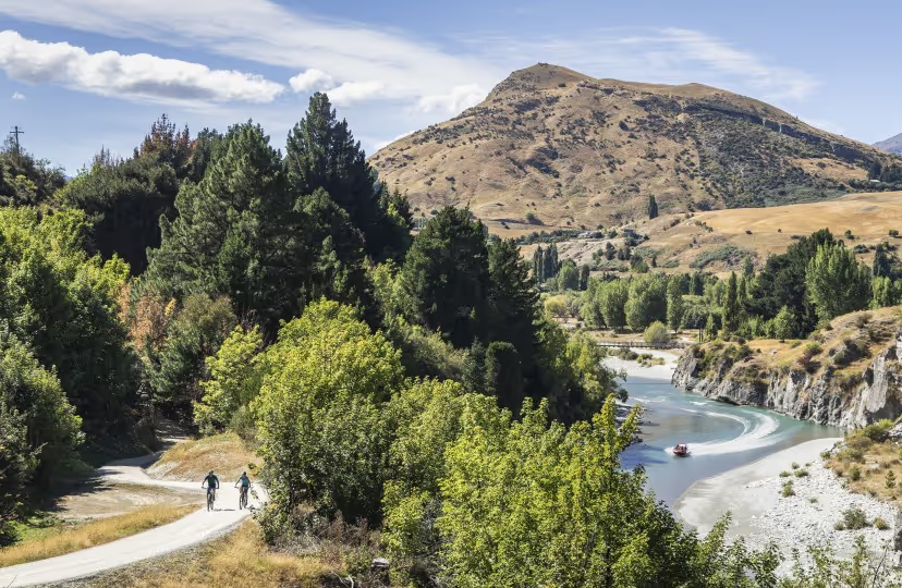
One of the most dramatic and rewarding trail experiences in New Zealand. The Shotover Gorge Trail carves a route above the gorge of the Kimi-ākau Shotover River — combining stunning scenery, fascinating mining history, and one genuinely unforgettable experience through the 108-metre Hugo Tunnel.

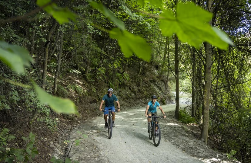
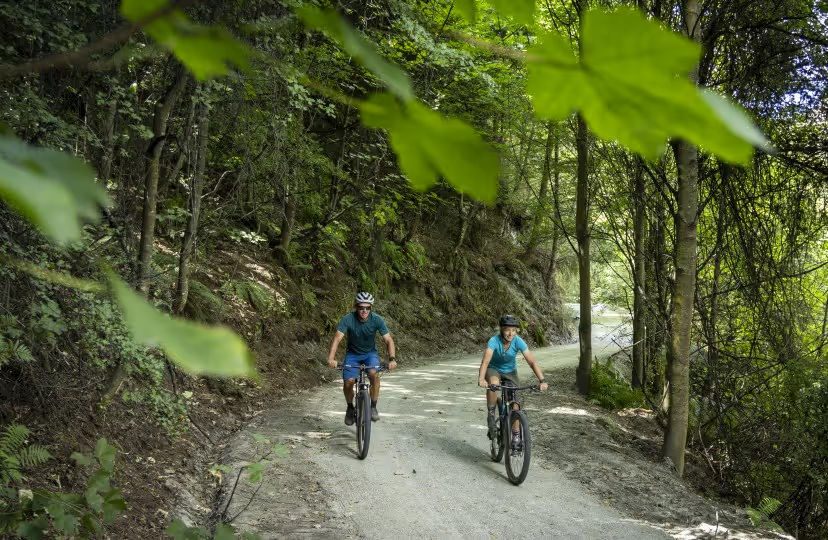
Starting from Arthurs Point, the trail descends gently through sycamore forest above the river before reaching the tunnel portal. Solar lighting activates at the push of a button — the original tramlines are preserved in-situ, so less experienced riders should exercise caution and walk through. On the far side, Shotover Jet boats pass at close quarters in the narrow canyon.

⚠️ DO NOT SWIM in the Shotover Gorge - Shotover Jet operates here and it is never safe to paddle or swim.

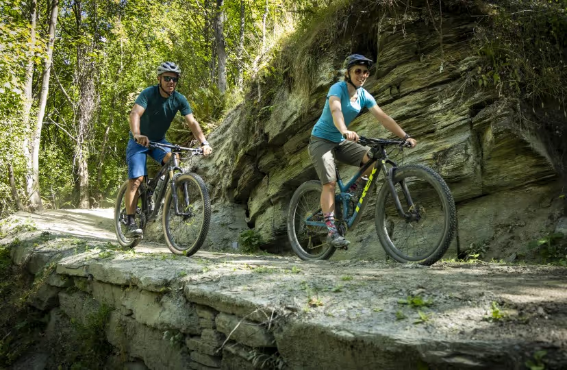
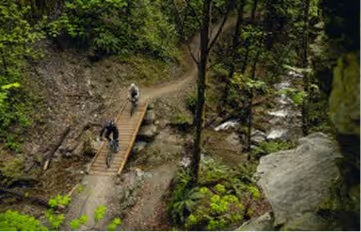
The trail climbs out of the tunnel on ‘Lyttles Ladder’ — steep and narrow with Grade 4 corners — before the views open dramatically from ‘Bucks Balcony’ as the trail follows the crest of the gorge toward Tucker Beach.

Some challenging sections can be walked, or the tunnel can be bypassed via a detour the Tunnel Bypass and the Wharehuanui Trail.

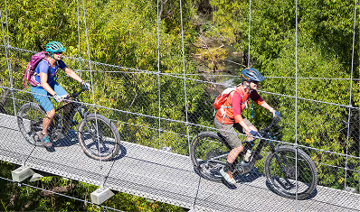
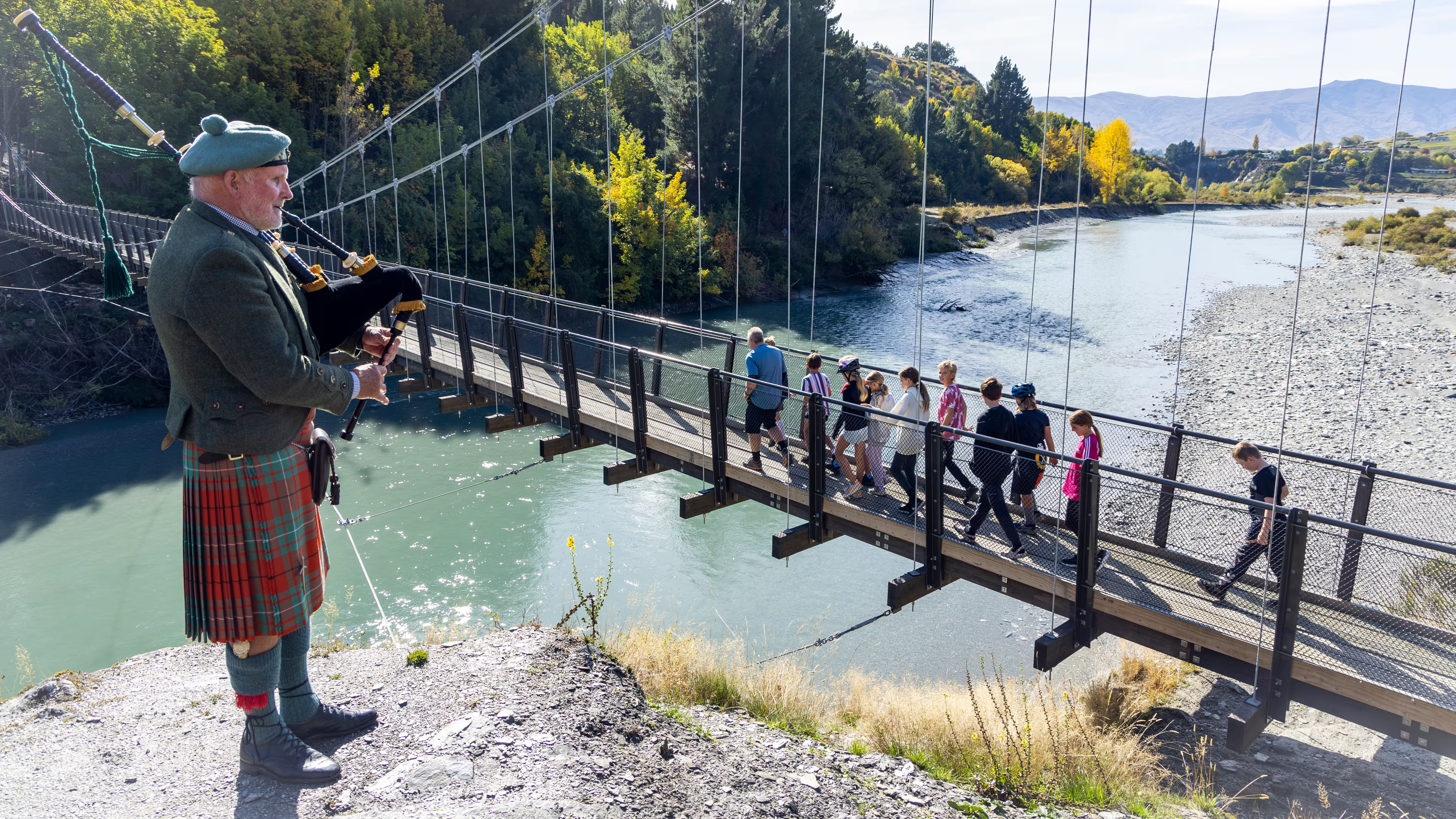
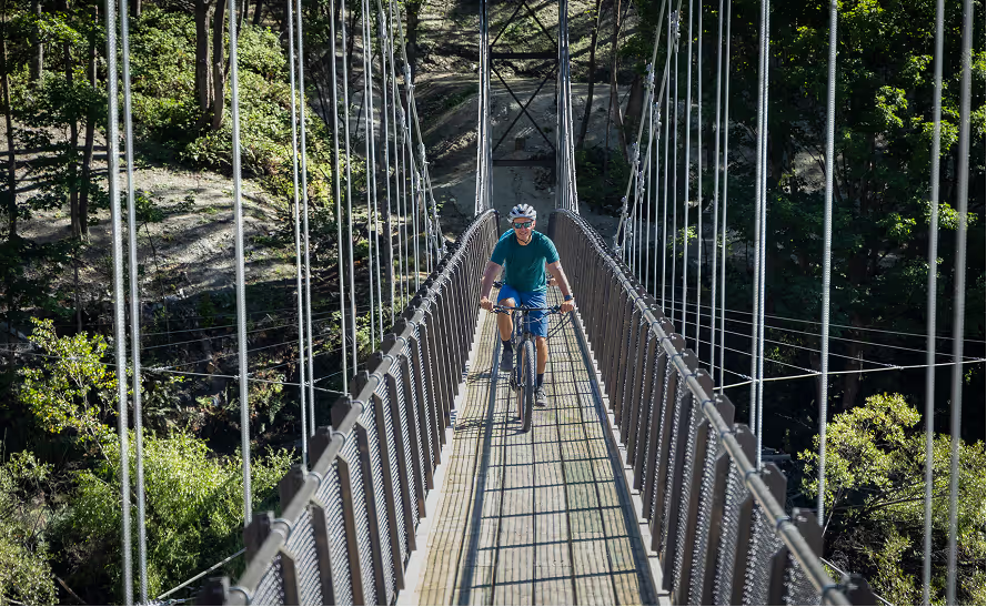
The trail continues to McQuilkin’s Bridge and lookout (with breathtaking views down the canyon), then zigzags to the river and the spectacular 90-metre Kimi-ākau suspension bridge — built in 2024 and offering front-row views of the Shotover Jet performing 360° spins below. From Tucker Beach, the Tucker Beach Trail continues to the Old Lower Shotover Bridge, connecting to the Twin Rivers and Countryside Trails.

‍

What to See & Do Along the Trail

Accommodation, Things to do, Food & Drink & Services

Reset
Thank you! Your submission has been received!
Oops! Something went wrong while submitting the form.
Eat & Drink
Things to do

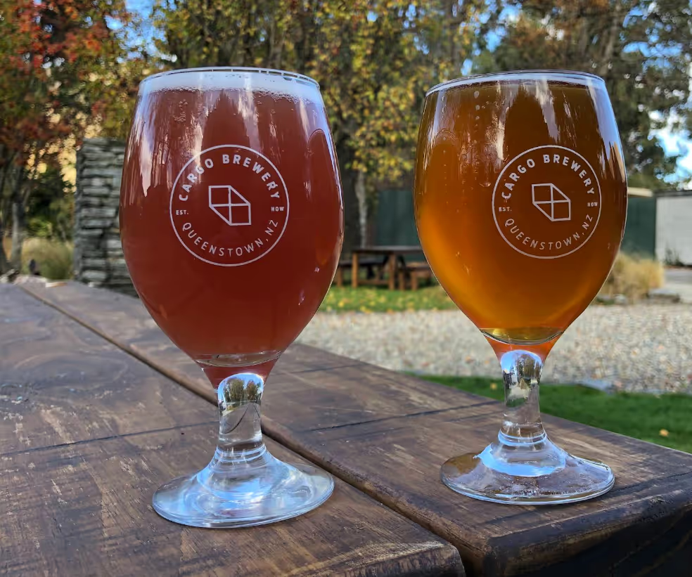
Cargo Brewery

Craft brewery and bar in Arthurs Point: unique beer, cider and gin offerings.

171 Arthurs Point Road, Arthurs Point, Queenstown 9371
‍

Eat & Drink

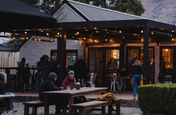
Gantley’s Tavern

Historic 1860s tavern with great coffee, craft beer & hearty food.

172 Arthurs Point Road, Arthurs Point, Queenstown 9371
‍

Things to do
Spa

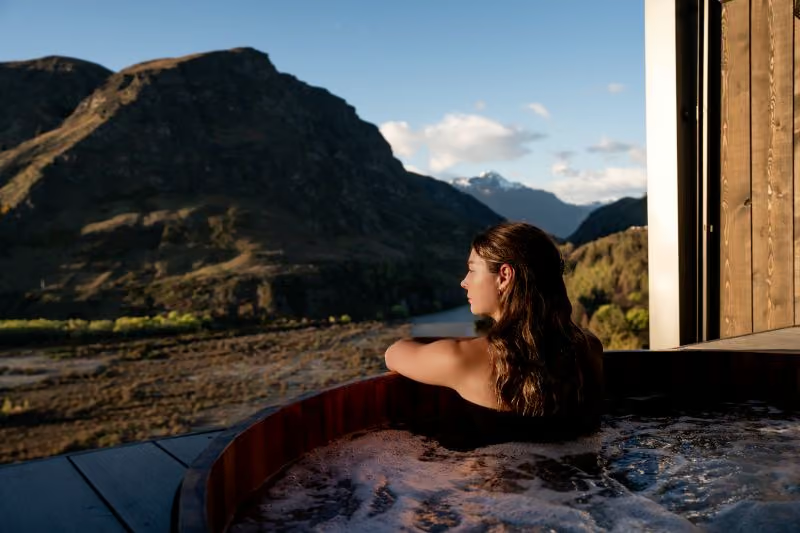
Onsen Hot Pools

Hot pools & day spa overlooking the Shotover River - book well in advance.

160 Arthurs Point Road,  Arthurs Point
‍

Eat & Drink

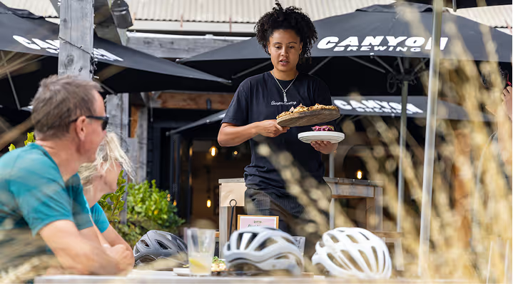
Canyon Brewery

Craft brewery & tap room. Enjoy expertly crafted share-style dishes and local craft beer.

1 Arthurs Point Road,
Arthurs Point,
Queenstown 9371
‍

Tour Operator
Bike Hire
Track Transport

Ride to the Sky eBike Tours

eBike Tours with knowledgeable guides - suitable for all ages and skill levels.

Country Lane Retail Village 26 Hansen Road, Frankton, Queenstown 9300

‍

Eat & Drink

Fino Restaurant Wine Bar

Nestled on the waterfront at Queenstown Marina, Fino Restaurant & Wine Bar is where exceptional food, exquisite wine, and breathtaking views come together.

Marina Shed 8/9/3 Sugar Lane, Frankton, Queenstown 9300
1.

Shotover Gorge Trail

‍The Shotover Gorge Trail heads downhill to the Hugo Tunnel.  This part of the Shotover Gorge is wide, smooth and with a gentle gradient.  This section of trail is suitable for families and less experienced riders.Distance: Atley Road - Hugo Tunnel: 1.6kmTime: Walking 1hr return, Biking 45min return
2.

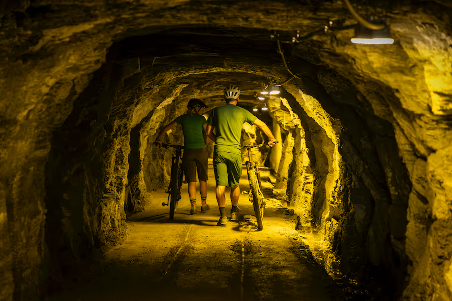
Hugo Tunnel

An incredible slice of local history and a unique trail experience, enjoy the thrill of wandering under the hill-side and emerging in the Lower Shotover Gorge.  Enjoy the sunshine at the picnic area, check out the information panel, and light up the tunnel to explore.
3.

The Trail Beyond The Tunnel

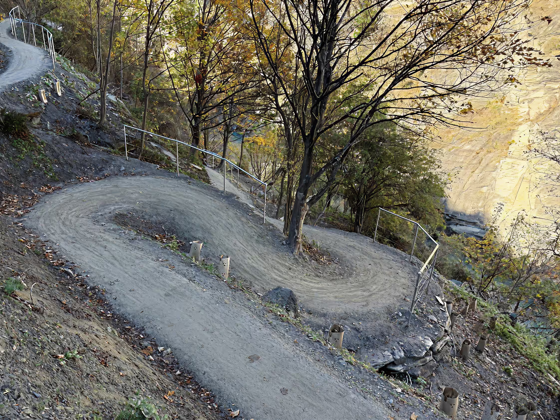
‍The Shotover Gorge Trail directly beyond the Hugo Tunnel is much more technical: a narrower width, with tight corners, some steep sections, and switchbacks.  A marvel of engineering, the skilled trail builders managed to carve access to the tunnel through very challenging terrain.  The resulting trail is spectacular with stunning views, but if you are not confident to ride, enjoy this section as a walk.  There's the option to leave your bike and take a wander to experience this beautiful piece of trail.  Stay safe and enjoy the views.

‍Distance: Hugo Tunnel - Hugo Tunnel Intersection: 1.3km
Time:
20min walk (one way)
4.

Share with care

  • Keep left- Use your bell
  • Call out around blind corners
  • Slow down when passing

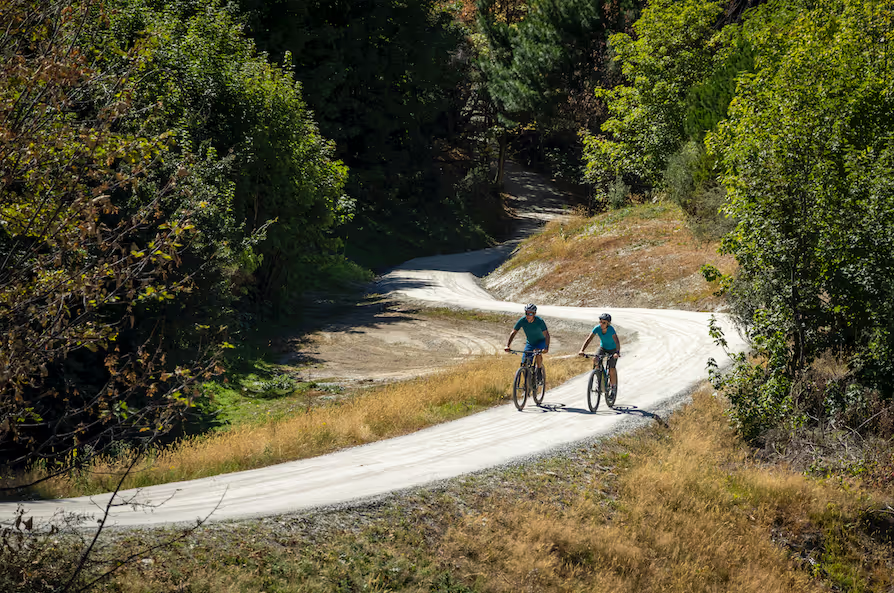
The trail is for everyone: walkers, runners and cyclists.  We've seen a huge number of trail users out exploring the Shotover Gorge Trail and Hugo Tunnel - thank you for making it welcoming and safe.

Trail Essentials

Trailhead Locations & Parking

Starting in Arthurs Point (10 min drive from Queenstown):

  • Atley Road
  • Swiss-Belresort carpark
  • Redemption Carpark
  • Limited roadside parking

Tucker Beach: Tucker Beach Carpark
OLSB: parking at both ends of the bridge

Transport (including bike transport) is available to/from Arthurs Point.

‍

Toilets & Facilities

Picnic benches at: Arthurs Point Descent, Tunnel Trail Intersection, McQuilkins Lookout, and Fitzpatrick.

Water Stations

No water stations on trail — carry sufficient water.

Accessibility Notes

Grade 3, with short Grade 4 sections between the Hugo Tunnel Intersection and the Hugo Tunnel. The challenging sections are signposted.

Adaptive Riding Info

Trail Width: Generally >2m.

  • Exception — Hugo Tunnel Trail (between Hugo Tunnel Intersection and the Hugo Tunnel): includes narrow sections <1m–2m
  • Exception — Hugo Tunnel Bypass (between Hugo Tunnel Intersection and Littles Road): generally <1.5m

Both of these narrow sections include trail with steep drops next to it, and increased exposure.

Steep Sections:

  • Hugo Tunnel Trail (between Hugo Tunnel Intersection and the Hugo Tunnel)
  • Hugo Tunnel Bypass (between Hugo Tunnel Intersection and Littles Road)
  • Section of trail between Kimi-ākau Bridge and Fitzpatrick Road (on the true left of the river)

Structures:

  • 90m Kimi-ākau suspension bridge
  • McQuilkin’s Bridge at Little Stream
  • Hugo Tunnel

‍

Trail Etiquette & Safety

⚠️ DO NOT SWIM in the Shotover Gorge — Shotover Jet operates here and it is never safe to paddle or swim.

Watch children closely near steep drops above the river. Well-maintained trail with some steep drop-offs.

‍

Gibbston Valley Golf Club
URL Link RefURL Map Link Ref
Novotel Queenstown Lakeside
URL Link RefURL Map Link Ref
Monte Christo Gibbston Cellar Door
URL Link RefURL Map Link Ref
Queenstown Bike Hire
URL Link RefURL Map Link Ref
Queenstown Airport (ZQN)
URL Link RefURL Map Link Ref
Kinross Bistro Restaurant
URL Link RefURL Map Link Ref
Kinross Winery & Cellar Door
URL Link RefURL Map Link Ref
AJ Hackett Kawarau Bungy Centre
URL Link RefURL Map Link Ref
Pak 'n Save Queenstown
URL Link RefURL Map Link Ref
ChargeAbout Queenstown
URL Link RefURL Map Link Ref
Ride to the Sky eBike Tours
URL Link RefURL Map Link Ref
Alpine Luxury Tours Queenstown
URL Link RefURL Map Link Ref
Gibbston Valley Bike Centre
URL Link RefURL Map Link Ref
Whizzy E-Bike Adventures
URL Link RefURL Map Link Ref
Going Blue Adventures
URL Link RefURL Map Link Ref
Arrowtown Bike Hire
URL Link RefURL Map Link Ref
Around The Basin Bike Queenstown
URL Link RefURL Map Link Ref
The Fork & Tap Alehouse
URL Link RefURL Map Link Ref
Queenstown Golf Club Cafe & Bar
URL Link RefURL Map Link Ref
Fino Restaurant Wine Bar
URL Link RefURL Map Link Ref
Queenstown Golf Club
URL Link RefURL Map Link Ref
Mt Rosa Cellar Door & Kitchen
URL Link RefURL Map Link Ref
Mount Edward Winery
URL Link RefURL Map Link Ref
Lakes District Museum & Gallery
URL Link RefURL Map Link Ref
Gibbston Valley Lodge & Spa
URL Link RefURL Map Link Ref
Gibbston Valley Restaurant
URL Link RefURL Map Link Ref
Gibbston Valley Wine Tours
URL Link RefURL Map Link Ref
Gibbston Valley Winery
URL Link RefURL Map Link Ref
The Rees Hotel Queenstown
URL Link RefURL Map Link Ref
The Cottages at Lake Hayes
URL Link RefURL Map Link Ref
Hilton Queenstown Resort & Spa
URL Link RefURL Map Link Ref
Millbrook Health & Fitness
URL Link RefURL Map Link Ref
The Spa at Millbrook
URL Link RefURL Map Link Ref
Platinum Queenstown Luxury Villas
URL Link RefURL Map Link Ref
Driftaway Queenstown
URL Link RefURL Map Link Ref
Arrowfield Apartments
URL Link RefURL Map Link Ref

Become A Trail Lover

Help Keep Our Trails World-Class.

Every contribution and partnership helps us maintain and grow the Queenstown Trails network. Your support helped us build 45 km of trails last year.
Loved The Trails?

We'd love to hear about your experience on the Queenstown Trails.

Join our trail community

Get the latest trail updates straight to your inbox.